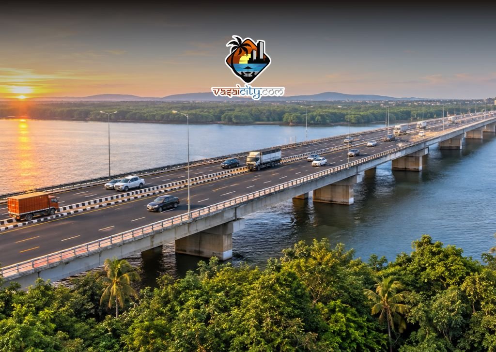

The Naringi Creek Bridge Virar project has received formal clearance from the Mumbai Metropolitan Region Development Authority (MMRDA), paving the way for a new six-lane road corridor that will cut the driving distance between Vasai-Virar and Palghar by approximately 25 kilometres and save commuters close to an hour of travel time.
Approved on Wednesday, 18 November, the proposed bridge will directly connect Marambal Pada Jetty in Virar (within the Vasai-Virar City Municipal Corporation limits) with Datiware Jetty across the creek in Palghar district. For thousands of daily commuters, industrial workers, and logistics operators who currently rely on the congested Mumbai-Ahmedabad National Highway (NH-48), the decision marks a significant breakthrough in regional road connectivity.
In This Article
Key Details of the Approved Naringi Creek Bridge Project
The clearance by the Mumbai Metropolitan Region Development Authority (MMRDA) addresses a long-standing infrastructure gap along the coastal stretch separating the northern suburbs of the Mumbai Metropolitan Region (MMR) from the rest of Palghar district.
According to details shared following the approval, the project includes the following core specifications:
- Lane Configuration: The bridge will be a six-lane structure featuring three lanes of traffic in each direction, designed to accommodate heavy multi-axle commercial vehicles alongside private cars and public transport.
- Terminal Points: It will span across Naringi Creek to link Marambal Pada Jetty on the Virar side with Datiware Jetty on the Palghar side.
- Distance Reduction: By creating a direct creek crossing, the corridor eliminates the need for a long inland detour, shortening the journey between Vasai-Virar and Palghar by roughly 25 km.
- Time Savings: Commuters currently spend close to two hours navigating the roundabout highway route; the new link is projected to reduce that travel time by nearly 60 minutes.
- Approach Road Upgrades: Alongside the main bridge structure, the approved plan includes widening and upgrading the existing narrow approach roads on both ends to prevent traffic bottlenecks where local roads meet the six-lane carriageway.
Vasai-Virar Mayor Ajeev Patil, who announced the development, stated that the bridge would substantially strengthen road links between Vasai-Virar and neighbouring areas of Palghar district. He noted that the approval followed sustained follow-ups with the regional planning authority.
Why the Virar–Datiware Link Matters for Local Commuters
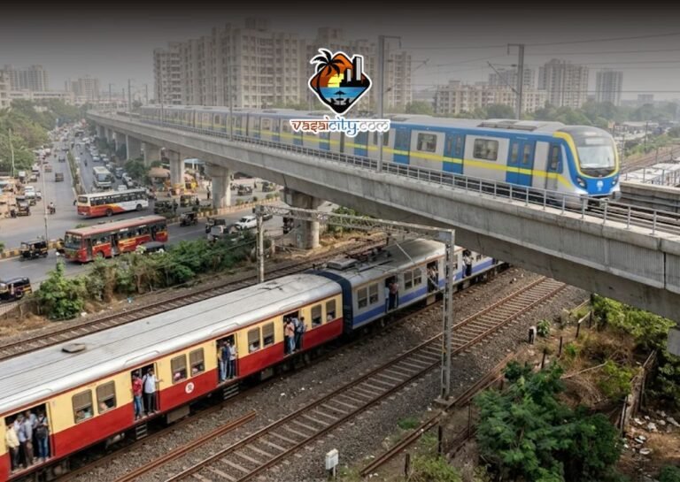
At present, travelling by road between Virar and coastal or central parts of Palghar—such as Kelve, Mahim, Saphale, and Palghar town—requires motorists to head east toward the Mumbai-Ahmedabad National Highway (NH-48), travel north along the highway, and then turn west again toward the coast.
For residents of Virar, Nalasopara, and Vasai, this indirect routing poses several daily challenges:
- Heavy Highway Congestion: NH-48 carries massive volumes of interstate freight, heavy trucks, and intercity passenger traffic. Frequent bottlenecks near highway junctions, ongoing roadwork, and monsoon-related delays routinely push travel times beyond two hours.
- Ferry Dependency: While local residents currently use ferry services operating between Marambal Pada and Datiware jetties to cross the creek quickly, ferries are restricted by tidal conditions, weather disruptions during the monsoon, and limited capacity for commercial vehicles.
- Daily Workforce Mobility: Many residents from Vasai-Virar commute daily to factories, government offices, educational institutions, and commercial hubs in Palghar and Boisar. A permanent all-weather road bridge offers predictable travel schedules without relying on ferry timings or highway traffic.
[Editorial Note: Insert internal link to an existing VasaiCity.com report covering Vasai-Virar road infrastructure, NH-48 traffic updates, or Marambal Pada ferry operations here.]
Boosting Industrial Connectivity to Boisar MIDC and Vadhavan Port
Beyond easing the daily commute for local residents, the Naringi Creek Bridge Virar corridor is planned as a strategic economic artery for the northern Mumbai Metropolitan Region.
Faster Access to the Boisar Industrial Belt
The Maharashtra Industrial Development Corporation (MIDC) zone in Boisar is one of the largest manufacturing and chemical industrial estates in western India. Currently, raw materials and finished goods moving between Mumbai, Vasai-Virar’s industrial estates, and Boisar depend heavily on NH-48. A direct coastal-side corridor via Virar and Datiware will give logistics operators an alternative route, lowering fuel consumption and turnaround times for commercial fleets.
Supporting Vadhavan Port and Upcoming Palghar Infrastructure
Palghar district is slated to witness major infrastructure expansion in the coming years, anchored by the greenfield Vadhavan Port project and a proposed airport in the district. Once operational, Vadhavan Port is expected to generate substantial cargo and passenger movement toward Mumbai and Thane.
By establishing a high-capacity six-lane crossing over Naringi Creek, planners aim to create a parallel north-south corridor capable of absorbing future freight and commuter traffic before it overwhelms NH-48. Designing the bridge with three lanes in each direction from the outset ensures the structure can handle projected traffic growth over the coming decades rather than requiring widening shortly after completion.
Approach Road Widening: Addressing Last-Mile Bottlenecks
A frequent concern with major bridge projects in suburban areas is that narrow village or municipal feeder roads struggle to absorb the sudden surge of vehicles exiting a wide highway bridge. Both Marambal Pada in Virar and Datiware in Palghar currently feature relatively narrow local roads leading up to the waterfront jetties.
To ensure smooth traffic dispersal, the MMRDA-cleared plan explicitly incorporates the widening and strengthening of these approach roads. Upgrading the feeder network on the Virar side will be particularly important for connecting the bridge cleanly to Virar’s internal arterial roads and the western suburban railway belt, ensuring that residential neighbourhoods around Virar West do not face severe gridlock once the bridge opens.
Background and Regional Planning Context
The Naringi Creek crossing has been discussed for years by civic representatives, local commuters, and urban planners as a missing link in the coastal road network stretching north of Mumbai. While the Mumbai Coastal Road and the Versova–Bhayandar link aim to improve connectivity up to Mira-Bhayandar, extending seamless road corridors across Vasai Creek and Naringi Creek has been viewed as the next logical step in integrating the wider coastal belt.
Within the Vasai-Virar City Municipal Corporation (VVCMC) region, rapid residential growth over the past decade has steadily pushed urban development toward Virar West, Arnala, and Marambal Pada. Simultaneously, Palghar’s administrative status as an independent district—carved out of Thane district in 2014—has accelerated demand for direct municipal and district-level connectivity without routing all traffic through the eastern highway corridor.
What Happens Next for the Project
While MMRDA’s clearance represents a critical administrative milestone, several formal stages remain before construction machinery arrives on site. Typically, major creek bridge projects overseen by the MMRDA move through the following phases:
- Detailed Engineering and Tendering: Finalising structural designs, marine and geotechnical surveys of the creek bed, and floating tenders to appoint infrastructure contractors.
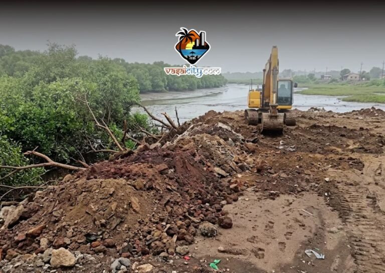
- Environmental and Coastal Clearances: Securing mandatory approvals under Coastal Regulation Zone (CRZ) norms and environmental guidelines, given the creek and mangrove ecosystem around Naringi Creek.
- Land Acquisition for Approach Roads: Completing land acquisition and right-of-way clearances required to widen the approach roads leading to Marambal Pada and Datiware jetties.
Official timelines for tender issuance, project cost estimates, and construction deadlines have not yet been announced in the initial clearance statement. Residents and commuters in Vasai-Virar and Palghar will be watching closely for the MMRDA’s formal tender notification and project schedule in the coming months.
Significance for the Vasai-Virar Region
For a rapidly growing urban centre like Vasai-Virar, the approval of the six-lane Naringi Creek bridge signals a shift toward better sub-regional integration. By directly linking Virar with Datiware, the project promises not only to save commuters nearly an hour of daily travel, but also to position Vasai-Virar as a key transit gateway connecting Mumbai with Palghar’s expanding industrial and maritime economy.
Frequently Asked Questions (FAQs)
Where will the new Naringi Creek Bridge in Virar be built?
The six-lane Naringi Creek Bridge will be constructed across Naringi Creek to connect Marambal Pada Jetty in Virar (within the Vasai-Virar region) with Datiware Jetty in Palghar district. This alignment creates a direct coastal-side road crossing between the two areas.
How much travel time will the Naringi Creek Bridge save commuters?
According to project estimates, the bridge will reduce the road distance between Vasai-Virar and Palghar by about 25 kilometres. By replacing the current roundabout journey along the Mumbai-Ahmedabad National Highway (NH-48), it is expected to cut travel time from nearly two hours to roughly one hour.
How many lanes will the Virar–Datiware bridge have?
The approved bridge will be a six-lane corridor featuring three lanes in each direction. This capacity is designed to handle both daily passenger vehicles and heavy commercial freight traffic travelling between Mumbai, Vasai-Virar, and Palghar’s industrial zones.
Which authority approved the Naringi Creek Bridge project?
The Mumbai Metropolitan Region Development Authority (MMRDA) granted formal approval for the project on Wednesday, 18 November. Vasai-Virar Mayor Ajeev Patil announced the clearance following persistent follow-ups with the planning authority.
Will the approach roads near Marambal Pada and Datiware also be widened?
Yes. The approved plan includes widening and upgrading the narrow approach roads on both the Virar and Palghar sides of the creek. Improving these feeder roads is intended to prevent traffic congestion where local streets connect to the six-lane bridge.
How will the bridge benefit industries in Boisar and Palghar?
The bridge will provide a direct alternative to the congested NH-48 corridor, improving road access between Mumbai, Vasai-Virar, and the Boisar MIDC industrial belt. It is also expected to support future passenger and cargo movement linked to Vadhavan Port and the proposed airport in Palghar district.
Will the bridge replace the Marambal Pada–Datiware ferry service?
While the bridge will provide an all-weather, 24-hour road alternative for cars, two-wheelers, buses, and trucks that currently cannot easily cross the creek, no official announcement has been made regarding the discontinuation of local passenger ferry services between Marambal Pada and Datiware jetties.
When will construction on the Naringi Creek Bridge begin?
An official construction start date, project budget, and completion deadline have not yet been announced. Following MMRDA’s initial approval, the project must complete detailed engineering designs, environmental and coastal clearances, approach-road land acquisition, and tendering before physical construction begins.